Depending on your project, linework might be the only data that you need, without the data that you don’t.
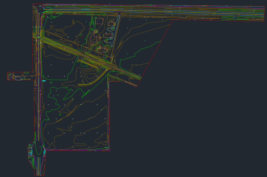
Our CAD linework is professionally drafted from the drone data collected from your project site.
Features that can be seen from the air can be captured in linework with incredible precision. Contour lines, spot elevations, break lines, building drip lines, edge of road/curb/sidewalk, paint striping, tree locations and more.
Linework is delivered in a .dwg CAD format.