

An intentional focus in and around the communities where we live and play!
With offices in Buena Vista and Frisco, Colorado, TopoMatters brings accessible LiDAR and precision imagery technology to professional land surveyors across Colorado, including the mountains, Front Range and Western Slope. Some of our favorite zones are highlighted below! #MapLocal
Expanded reach through trusted pilot partnerships
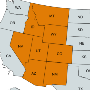
Not in Colorado? Surveyors across the mountain west can still leverage TopoMatters—whether you collect the data yourself or work with one of our qualified partner pilots trained to fly to our exact specifications. This flexible model expands our reach while maintaining the high standards we’re known for.
Every project includes ground scaling, data post-processing, rigorous quality reporting and survey-grade CAD deliverables – powered by our proprietary, quality-focused TopoPro® workflow.
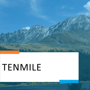
The Tenmile, Gore and Mosquitto Ranges
With deep Summit County roots, we’re always eager to serve Breckenridge, Copper, Dillon, Frisco, Keystone and Silverthorne! And from here we extend our reach to Steamboat and Winter Park.
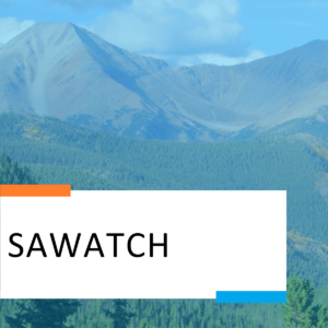
Sawatch and Collegiate Peaks
We now call this zone home, serving Leadville, Twin Lakes, Granite, Buena Vista, Nathrop, Poncha Springs, Salida, Monarch and more!
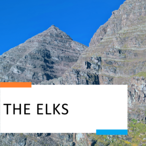
The Rugged Elks
We can still find time to capture beautiful map data here, despite the endless fun. Aspen, Snowmass, Basalt, Carbondale. We love your landscape.
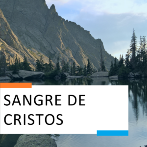
Sangre de Cristos and the San Luis Valley
Some of our favorite peaks to summit are in this region! Just love to visit Crestone, Moffat, Saguache, Monte Vista, Alamosa, Blanca, Del Norte and South Fork to the east and south. To the north and west, more of our favorite communities – Howard, Cotopaxi, Silvercliffe and Westcliffe!
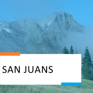
The Beautiful San Juans
There’s never too much time spent in and around this range! Delta, Montrose, Ridgeway, Ouray, Telluride, Silverton, Durango. And Lake City too!
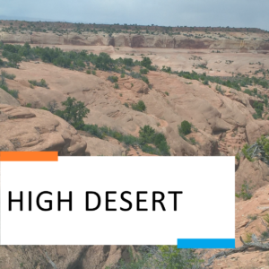
Desert Shenanigans
When we’re not mapping, we’re often riding singletrack, dropping into slot canyons or somewhere in between. Grand Junction, Fruita, Moab, Green River, Hanksville and so many other hidden gems in the area.
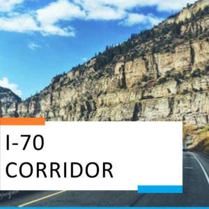
More places along the I-70 Corridor
We’d be remiss if we hadn’t mentioned Idaho Springs, Georgetown, Vail, Avon, Edwards, Eagle, Gypsum, Glenwood Springs, New Castle, Rifle, Parachute, Mesa, Pallisade and onward west of the (CO) border.

Colorado's Front Range
While we love serving Colorado’s mountain regions, surveyors across the Front Range rely on TopoMatters for accurate, high-quality topographic data. From Fort Collins to Pueblo, we support projects in and around cities like Denver, Colorado Springs, Boulder, Greeley, Lakewood, Aurora, Thornton, Arvada, Longmont, and beyond. Whether you’re working in urban, suburban, or transitional areas along the I-25 corridor, our TopoPro® workflow ensures consistent, survey-grade deliverables that meet the demands of today’s survey professionals.