Photogrammetry vs LiDAR. Both are popular methods for creating 3D models. Both methods have their advantages and disadvantages, and depending on the use case, one method may be more suitable than the other.
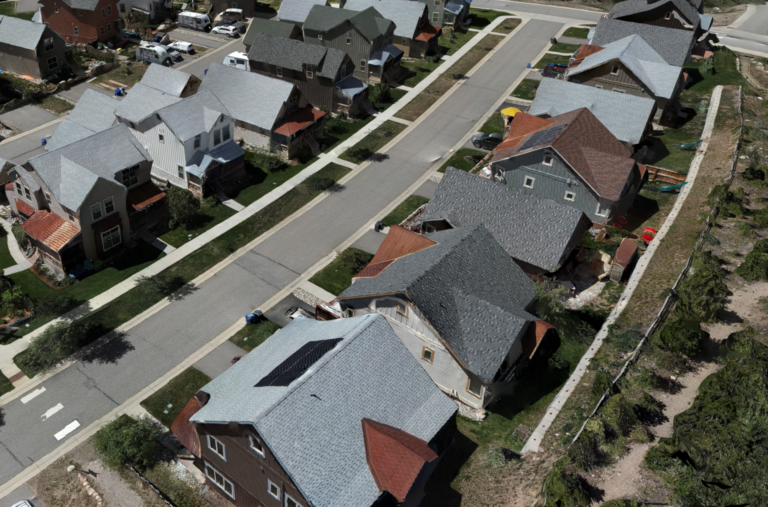
Photogrammetry is the process of using photographs to create a 3D model. The process involves taking a series of overlapping photos from different angles of an object or environment, and using software to stitch them together and create a 3D model. This process is often used in industries such as architecture, engineering, and construction.
One advantage of photogrammetry is that it is relatively easy to capture the data needed to create a 3D model. All that is required is a camera and software, and the process can be done quickly and efficiently. Another advantage is that photogrammetry can capture color and texture information, which can be useful for creating more realistic models.
However, there are some limitations to photogrammetry. The accuracy of the model is dependent on the quality of the photographs and the software used to stitch them together. Additionally, photogrammetry is limited by line-of-sight, meaning that it may not be able to capture the entirety of a complex object or environment.
LiDAR, on the other hand, is a laser-based method of creating 3D models. It involves using a laser scanner to send out pulses of light that bounce off objects and return to the scanner. By measuring the time it takes for the light to return, the scanner can create a 3D map of the object or environment.
One advantage of LiDAR is that it is incredibly accurate, and can capture even the smallest details of an object or environment. Additionally, LiDAR is not limited by line-of-sight, meaning that it can capture complex environments such as forests or urban areas.
However, LiDAR is also more expensive and time-consuming than photogrammetry. It requires specialized equipment and expertise to operate, and the data it produces can be more difficult to process and work with.
In summary, both photogrammetry and LiDAR have their advantages and disadvantages. Photogrammetry is a quick and easy way to capture 3D models with color and texture information, while LiDAR is incredibly accurate and can capture complex environments. Depending on the use case, one method may be more suitable than the other, or a combination of both methods may be used to create the most accurate and detailed 3D model.