
Get going quickly with one of our fit-for-purpose aerial data and mapping packages
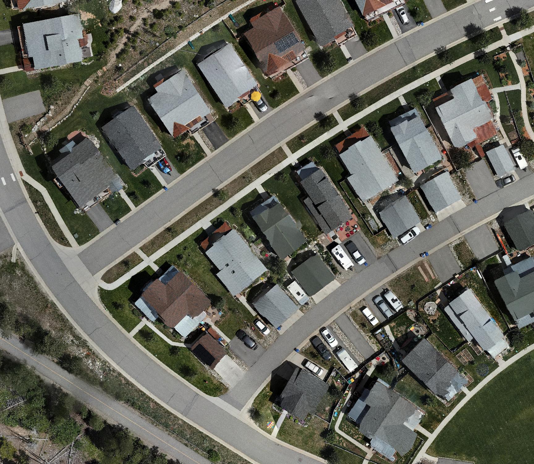
TopoVision®
Photogrammetry-based deliverables to maximize visual insights and engagement:
- Digital orthophoto map
- Digital surface model
- Cartographic contours
- Hillshade relief map
- Available CAD linework
- Available 3D modeling
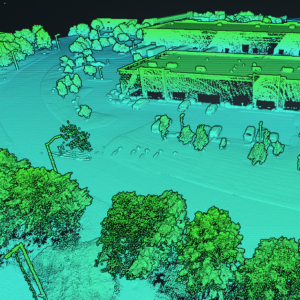
TopoPro®
LIDAR-based deliverables for technical professionals:
- Colorized point cloud
- Ground surface classification
- Digital terrain model
- Engineering contours
- Projection localization
- Available orthophoto map
- Available Colorado Professional Land Surveyor (PLS) and CAD services