
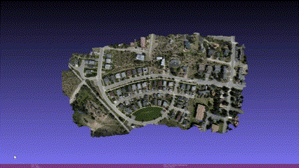
A 3D mesh that can be rotated to the perspective views needed for your project
The model is derived from the point cloud by creating a mesh of millions of interconnected faces and painting each one with the color and texture from the original photos. The textured mesh is creator-friendly and delivered in an .obj file format.