TopoMatters | Aerial LiDAR and Data for Surveyors

Menu
Deliver Topographic Surveys with Confidence
Bid More Jobs, Accelerate Projects, and Reduce Risk — with Less Time and Investment Using TopoMatters’ LiDAR and Photogrammetry CAD Deliverables.
Turnkey UAV Mapping
Accelerate project timelines with a full-service approach, from flight planning to CAD deliverables, all backed by rigorous quality control.
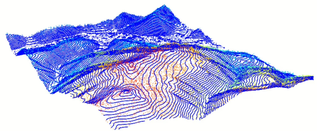
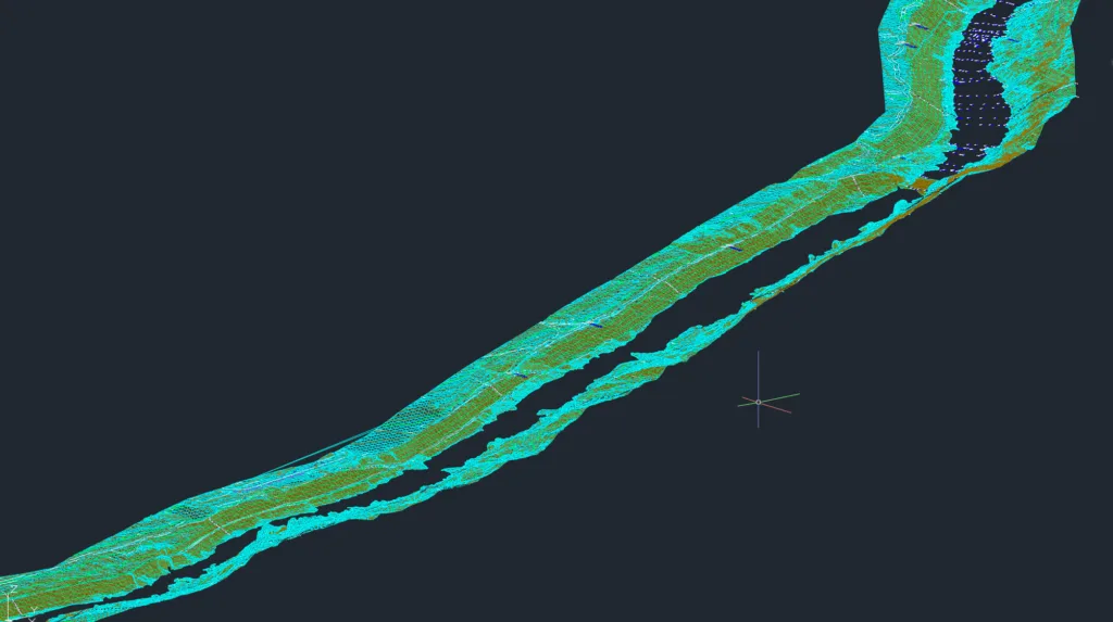
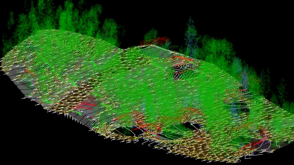
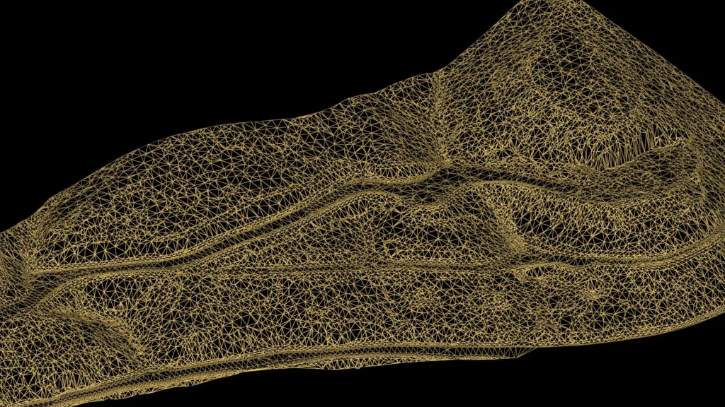
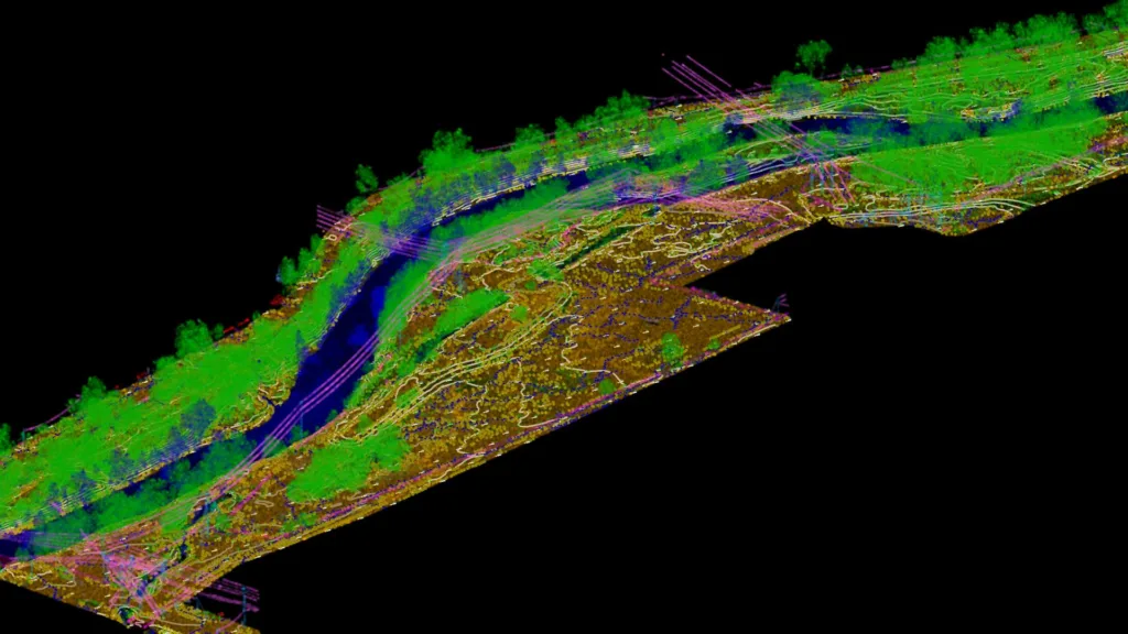
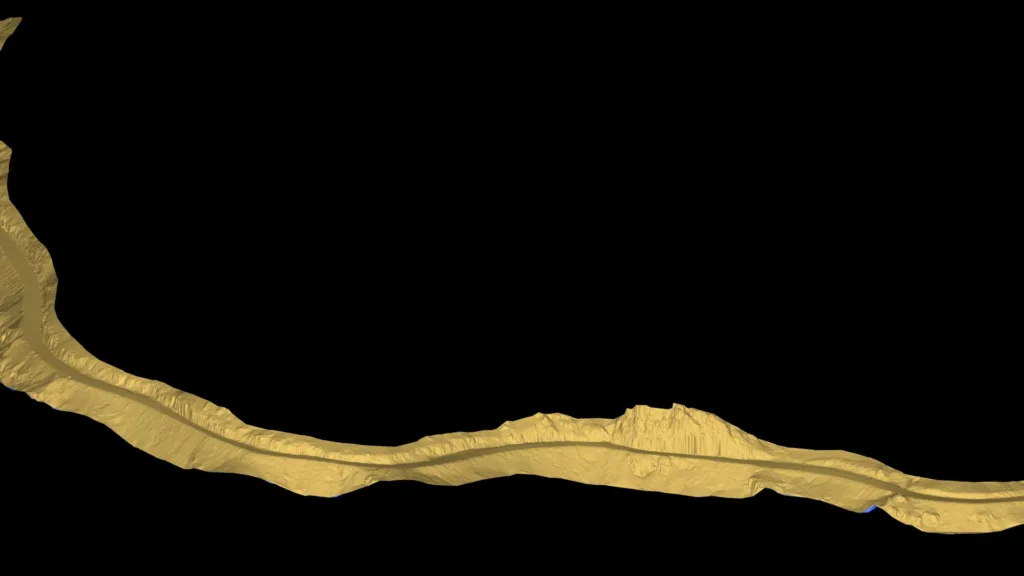
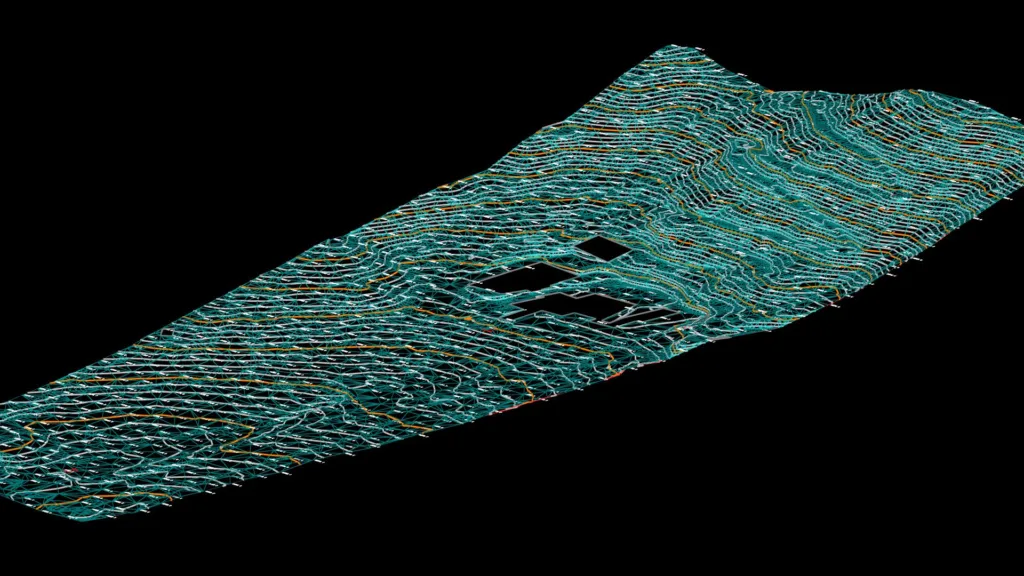
LiDAR Post-Processing
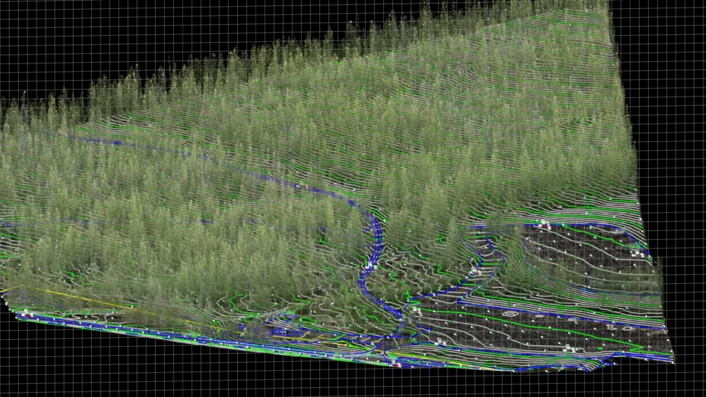
Conquer point cloud bloat and enhance accuracy with TopoPro® - a proven, repeatable workflow focused on transparency and trust.
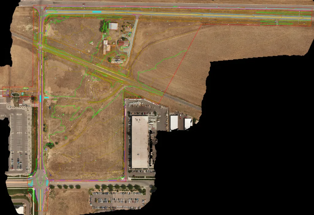
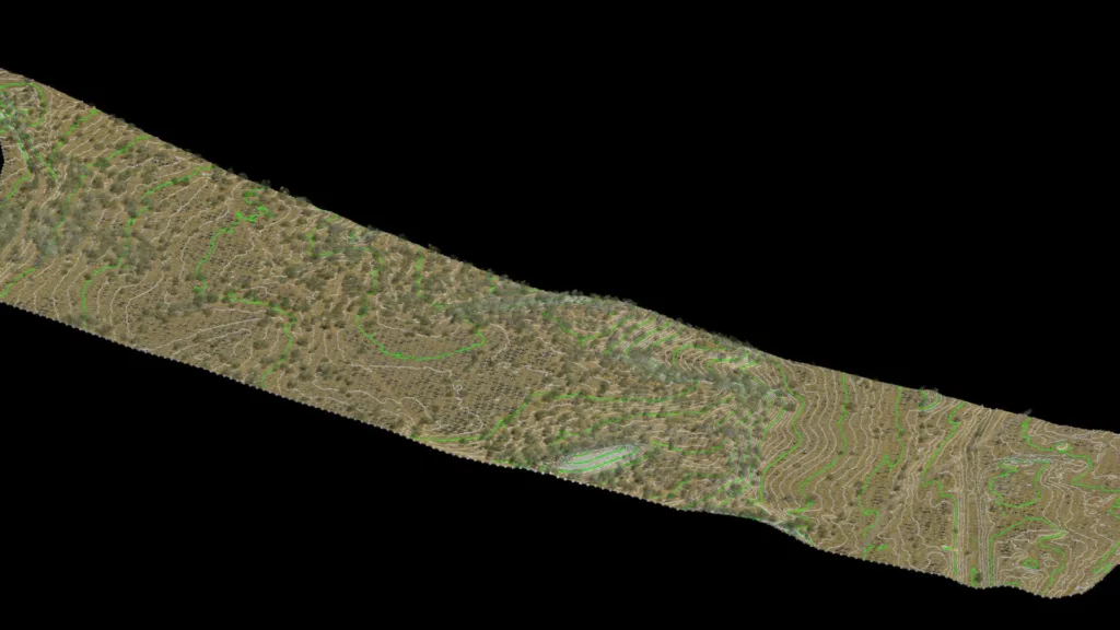
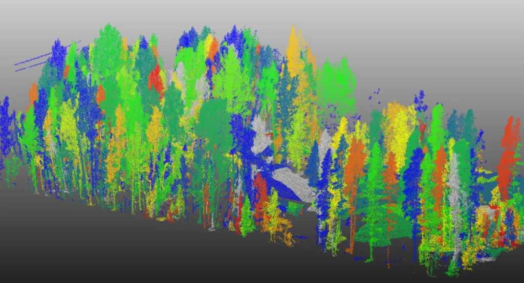
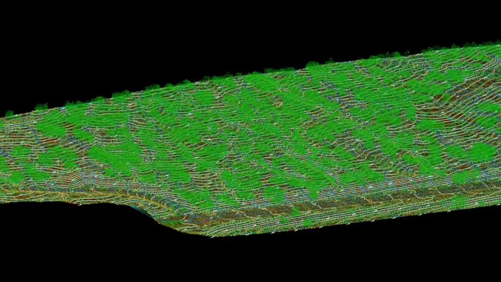
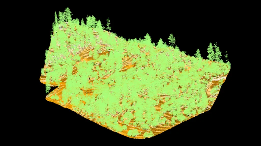
Reality Capture
Deliver rich context and precise site insights with high-resolution orthophotos, 3D mesh models, and comprehensive spatial data.
Not a surveyor? Not a problem.
Our trusted network of Colorado land surveying partners can provide ground control, survey oversight, and stamped deliverables for a complete solution.
Drone LiDAR Mapping Services
- Drone LiDAR Surveying
- Aerial Photogrammetry
- Existing Conditions
- Feature Extraction
- Topographic Surfaces
- 3D Reality Models
TopoMatters Expertise:
Transportation, Planning, Natural Corridors, Ski Areas, Land Development and More
City of Loveland
Transportation Design Survey
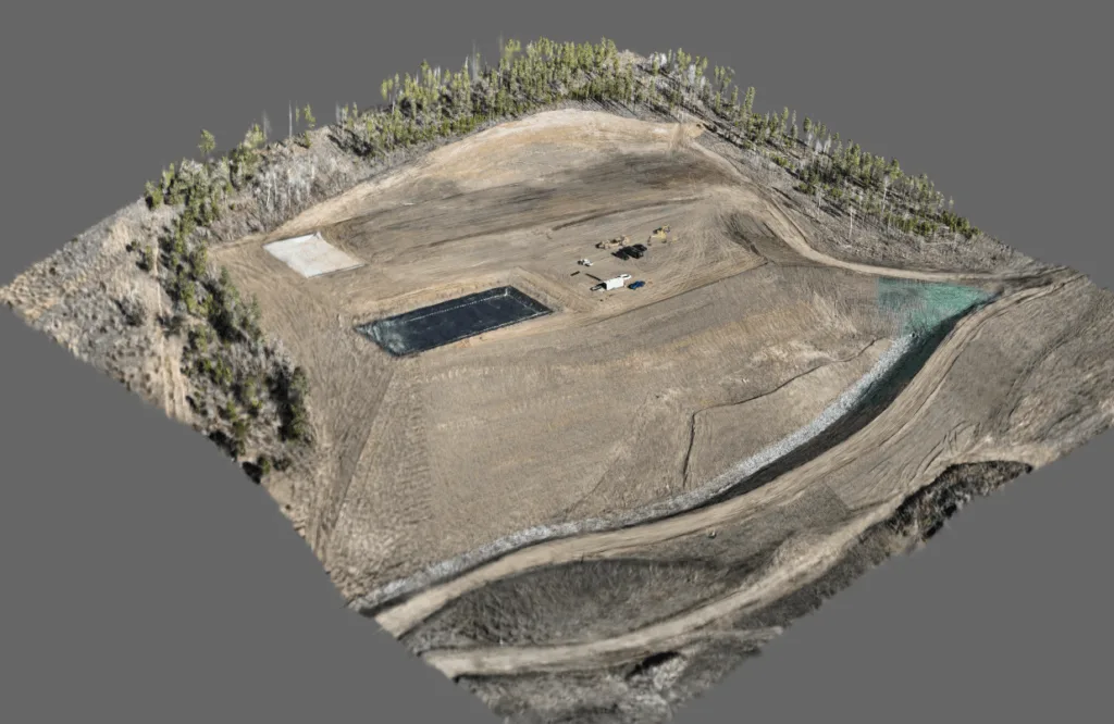
Walsenburg Energy Project
LiDAR Topographic Survey
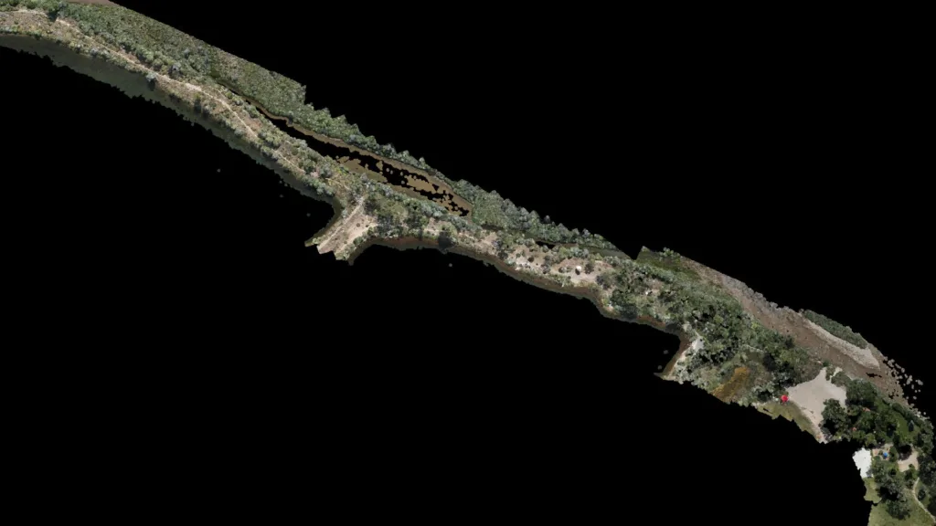
Town of Buena Vista WW Park
White Water Park Survey
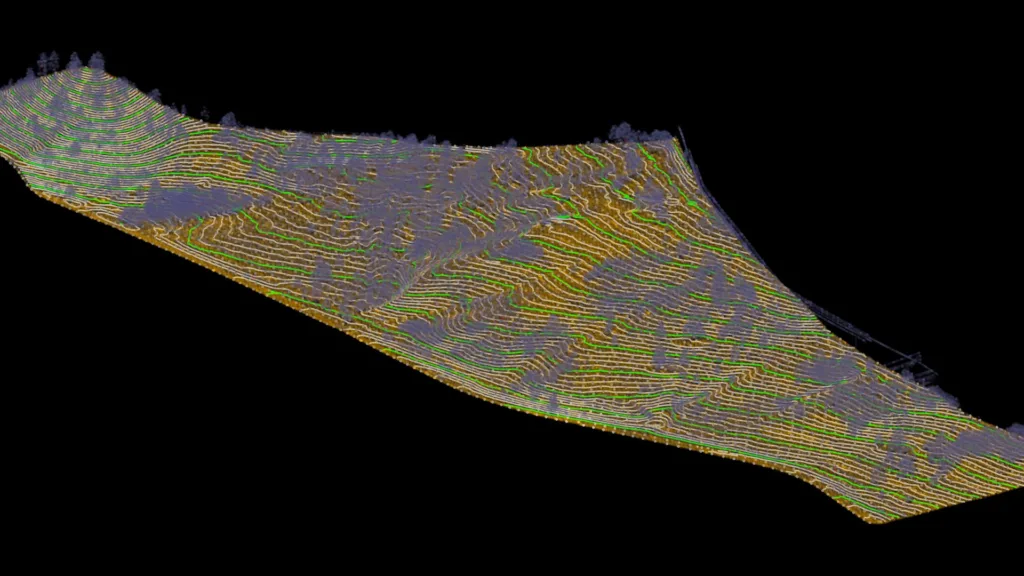
Vail Slope Study
Terrain Analysis
Summit County Tree Inventory
Asset Mapping
Town of Parachute
Trail Corridor Mapping
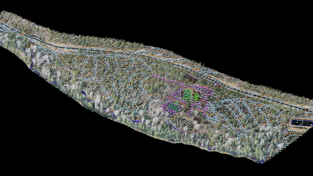
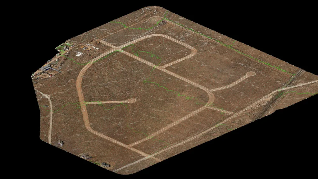
Freemont County Mountain Resort
Resort Land Development Survey
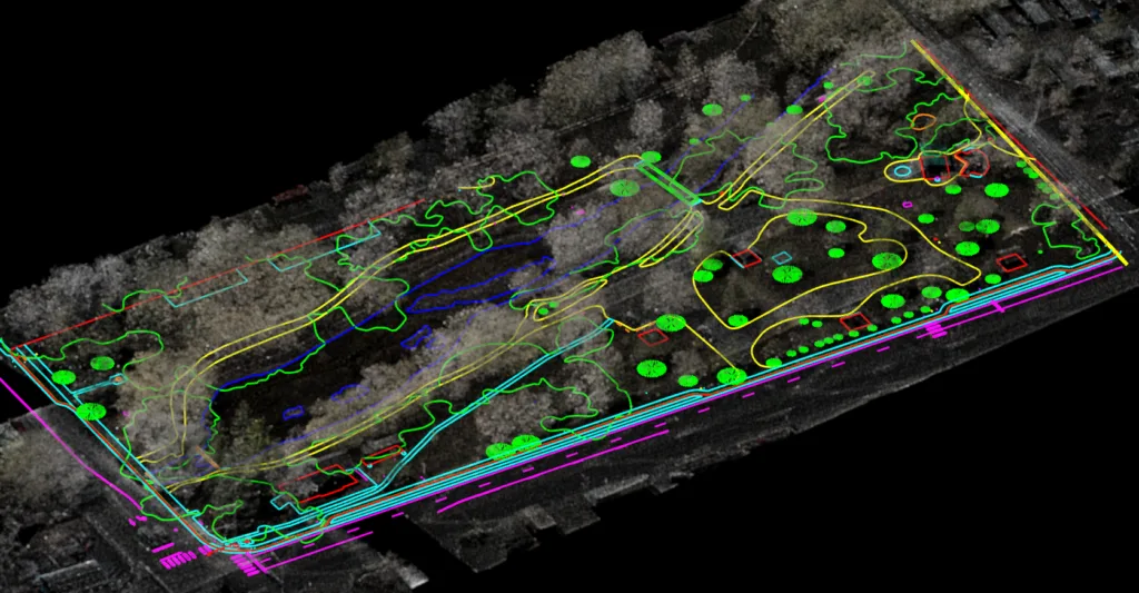
McPhelemy (Lakeside) Park
Existing Conditions Mapping
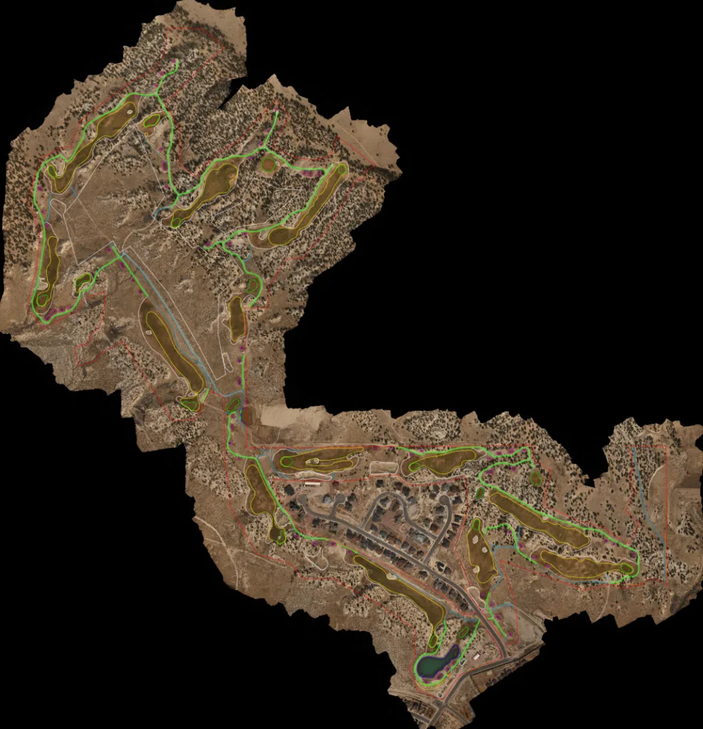
High Desert Golf ALTA
Golf Course ALTA Mapping
Glenwood Springs Commercial Property
ALTA Survey Support
Jefferson County Homesite
Building Pad Survey
Oregon Coast 6-Mile Water Main
LiDAR Processing and Surface
Ski Area Slope Study
Ski Terrain Planning
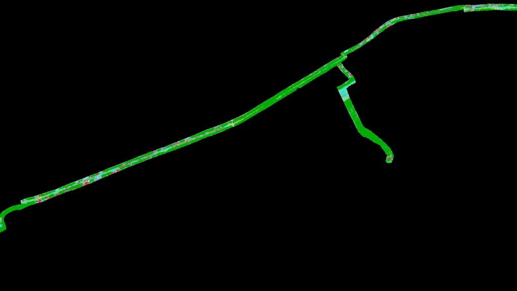
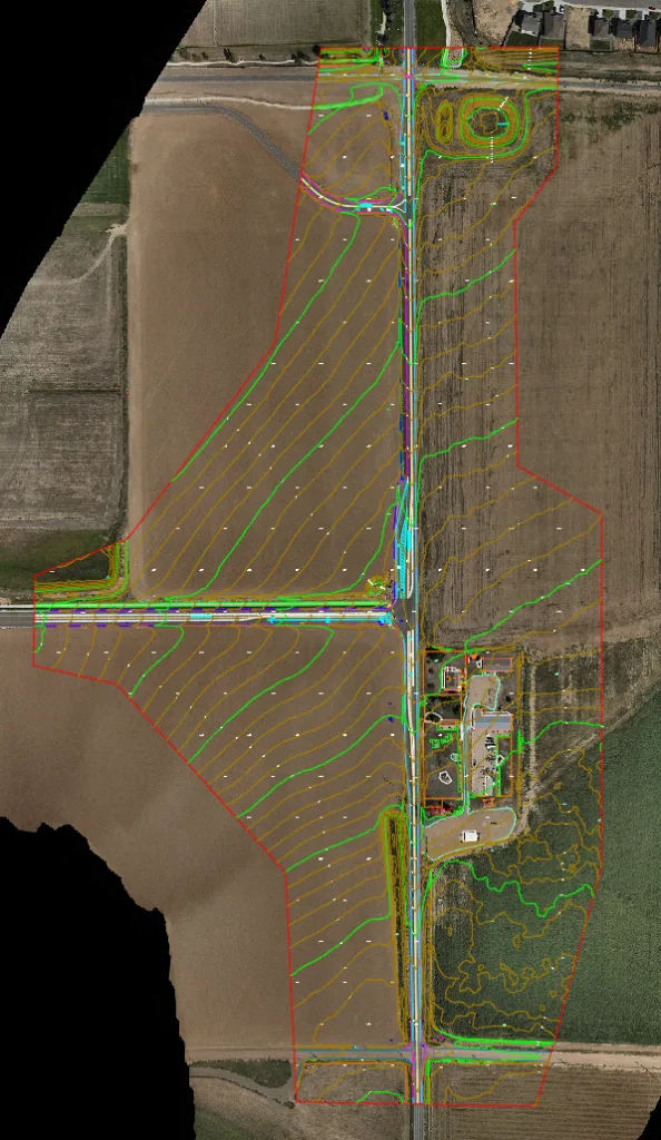
Weld County Road Alignment
30% Design Survey
Chaffee County Development
Residential Development Survey
Canyon City Gateway
Design Existing Conditions Survey
US-36 Emergency Guardrail Replacement
Complex Canyon Highway Survey
Mt. Princeton Homesite
Topographic Mapping
Colorado Springs Property
Drainage Assessment
Summit County Government
3D Reality Capture
City of Johnstown
Road Design Mapping
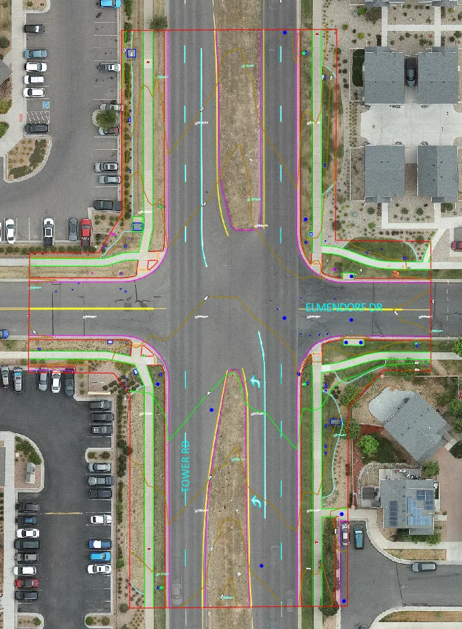
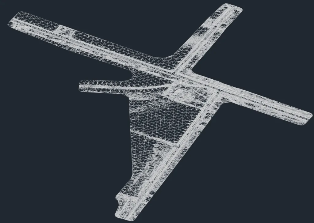
City and County of Denver
Pedestrian Crossings Design
Green Mountain Falls
Site Development Mapping
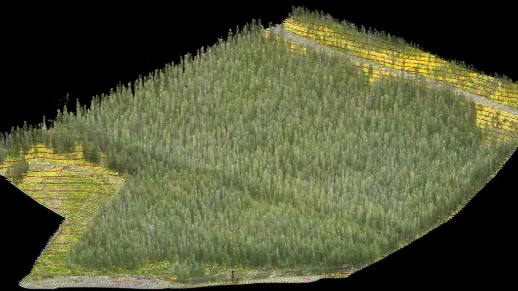
Loveland Ski Area
Forestry Topographic Survey
The TopoMatters Difference
- LiDAR expertise since 2017.
- Proprietary TopoPro® workflows built on repeatability and transparency.
- Deep expertise in geodesy, coordinate systems and quality control.
- Multidisciplinary experience spanning engineering, software and business.
- Proud partner of licensed surveyors across Colorado.
- Connecting licensed survey partners with qualified project opportunities.
Learn how TopoMatters helps you take on more projects with less time and investment.
- Land Surveying
- Planning + Design
- Engineering + Architecture
- Construction