

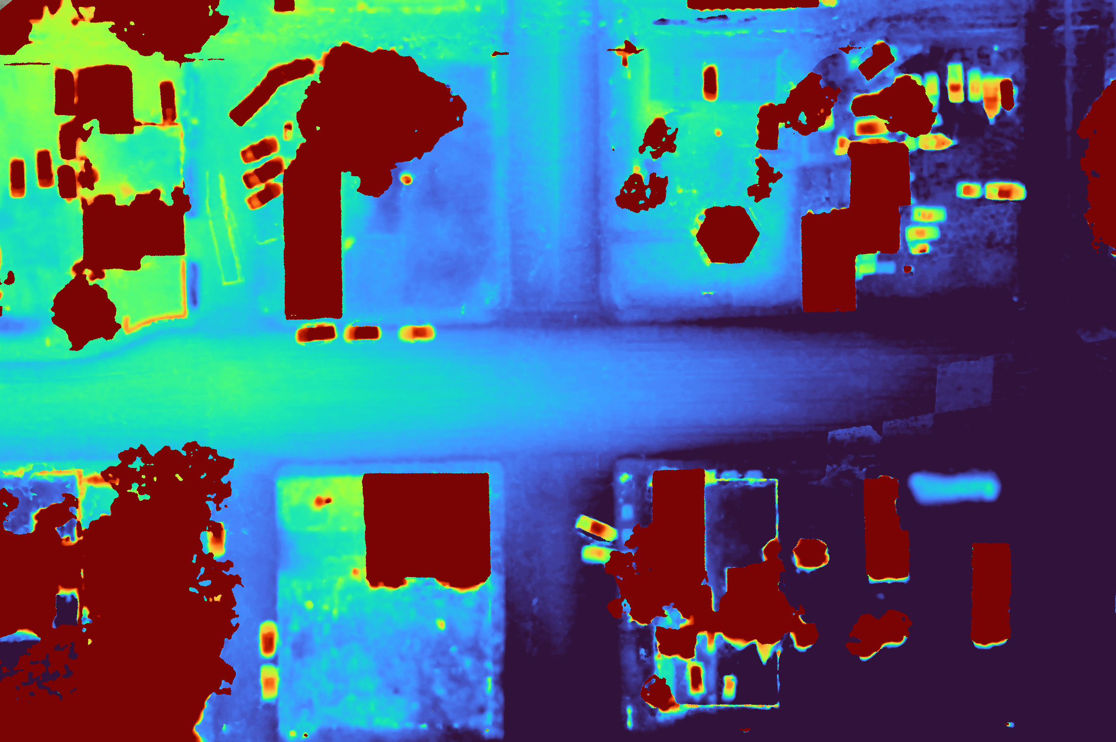
Visualize current terrain with a georeferenced digital surface model
A georeferenced "DSM" captures the current terrain inclusive of existing structures, buildings, stockpiles, trees, etc. A DSM can be useful in planning the location for a new structure. The visual format helps easily identify terrain features such as slope, surface water flow, etc. And it can even be used as a source to determine building and canopy heights or stockpile volumes. A Digital Surface Model is delivered in a GeoTIFF (.tif) file format that is best viewed in a GIS tool that best suits your use case.