Introduction
In the ever-evolving realm of construction and earthworks, staying ahead of the curve is crucial for success. Drone mapping for earthworks is one technological advancement that has revolutionized the industry. Unleashing a myriad of benefits, drone mapping has become a game-changer for earthworks companies, offering efficiency, accuracy, and a competitive edge. In this blog post, we’ll delve into the incredible advantages that drone mapping brings to the table, elevating earthworks projects to new heights.
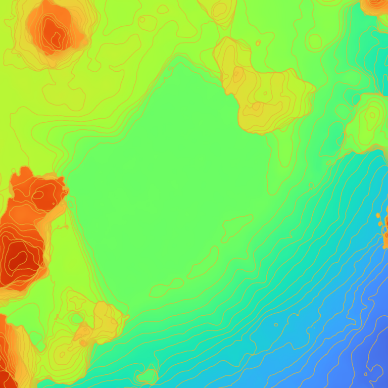
1. Precision and accuracy
In the world of earthworks, precision is paramount. Drone mapping provides unparalleled accuracy in surveying and mapping terrains. Equipped with high-resolution cameras and advanced sensors, drones capture detailed images and data, ensuring precise measurements. This accuracy minimizes the margin of error in project planning and execution, leading to better outcomes and reduced costs.
2. Time and efficiency
Traditionally, land surveying and mapping have been labor-intensive and time-consuming processes. Drone mapping, however, accelerates these tasks exponentially. Drones can cover large areas in a fraction of the time it would take traditional surveying methods. This not only saves time but also translates into significant cost savings, as fewer man-hours are required to complete the surveying process. If your land surveyors aren’t leveraging drone mapping services, you might question why.
3. Real-time monitoring
One of the standout features of drone mapping is its ability to provide real-time monitoring of construction sites. Earthworks companies can refresh data and images on demand, enabling them to make informed decisions promptly. This real-time monitoring is invaluable for project managers, allowing them to address issues as they arise, optimize workflows, and ensure the project stays on schedule.
4. Enhanced safety
Safety is a top priority in the construction and earthworks industry. Drones play a crucial role in improving safety by reducing the need for manual inspections in hazardous or hard-to-reach areas. Drones can easily navigate challenging terrains and capture data without putting human lives at risk. This not only protects the workforce but also contributes to a safer work environment overall.
5. Precise volume calculations
For earthworks projects, calculating volumes of materials such as soil, gravel, rock or even waste is a common requirement. Drone mapping excels in this aspect, providing accurate volume calculations through 3D modeling. This information is invaluable for project planning, resource management, and ensuring that the right amount of materials are delivered or consumed.
6. Improved decision making
Informed decision-making is a cornerstone of successful earthworks projects. Drone mapping equips decision-makers with a wealth of data, enabling them to assess project progress, identify potential challenges, and make adjustments as needed. This proactive approach fosters better decision-making throughout the project lifecycle.
Conclusion
As technology continues to reshape the construction industry, drone mapping stands out as a transformative tool for earthworks companies. From precision and efficiency to safety and real-time monitoring, the benefits are undeniable. Embracing drone mapping is not just a technological leap; it’s a strategic move that propels earthworks companies into a future where success is defined by accuracy, efficiency, and innovation.
Contact TopoMatters to let your projects soar to new heights with the power of drone mapping.