
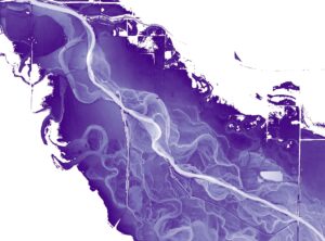
Unlock the Soul of a River
While typical maps showcase land elevation above sea level, our innovative river relative elevation map adds a vibrant touch, using colors to vividly illustrate the intricate relationship between the land and the river.
Unveiling the contours of old river channels, graceful bends, and flood-prone areas, river elevation maps not only provides valuable insights into landforms but also presents an image of beauty that captivates the eye!
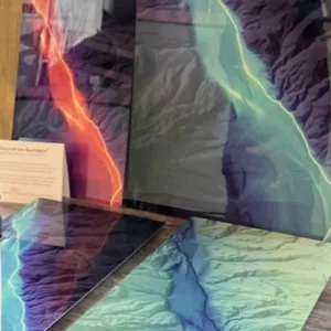
Available as High Gloss Metal Prints
Bring this stunning river imagery home on 12×24 or 18×36 metal prints.
We currently have a limited number of Arkansas River prints available for purchase. Our “The Soul of the Numbers” prints are in stock and we expect to publish “The Soul of Browns Canyon” soon!