Community planners are responsible for designing and managing the physical and social infrastructure of cities, towns, and other communities. They play a critical role in creating livable, sustainable, and equitable communities that meet the needs of their residents. One tool that community planners can use to support their work is drone mapping. In this blog post, we will explore how drone mapping benefits community planners and the communities they serve.
What is drone mapping?
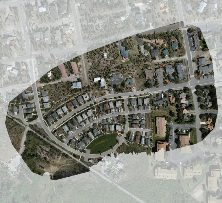
Drone mapping is the process of using drones to collect aerial images and data, which can then be processed to create maps, 3D models, and other types of spatial data. Drones are equipped with cameras, sensors, and GPS, which allow them to capture high-quality aerial images and data. This data can be used to create detailed maps and models of the physical environment, including buildings, infrastructure, and natural features.
How can drone mapping benefit community planners?
Drone mapping can provide community planners with a better understanding of the physical environment of the communities they serve. By collecting high-quality aerial images and data, community planners can gain insights into the layout of buildings, roads, and other infrastructure. This information can be used to develop more effective plans and strategies that take into account the existing physical environment.
Improved data accuracy and precision
Drone mapping can also improve the accuracy and precision of spatial data used by community planners. By collecting data with drones, community planners can obtain data with greater resolution and accuracy than traditional methods. This allows them to make more informed decisions and create more accurate plans and models.
Cost-effective data collection
Drone mapping can be a cost-effective way to collect spatial data. Traditional methods of collecting aerial data, such as using planes or helicopters, can be expensive and time-consuming. Drones, on the other hand, are relatively inexpensive and can quickly collect data over large areas.
Increased community engagement
Drone mapping can also increase community engagement in the planning process. By using drone mapping, community planners can create visualizations and 3D models of their plans, which can be shared with the community. This allows community members to better understand the plans and provide feedback, resulting in more inclusive and community-centered planning.
Conclusion
Drone mapping is a valuable tool that community planners can use to support their work. By collecting high-quality aerial images and data, community planners can gain a better understanding of the physical environment, improve the accuracy and precision of their data, reduce costs, and increase community engagement. As drone technology continues to advance, community planners are likely to find even more uses for drone mapping in their work. All leading to better community planning with drone data.