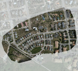
High fidelity local base map data
Using industrial UAS equipment, photogrammetry data is captured with a ground sampling distance (GSD) as low as 1 cm per pixel resolution. Each image is processed with survey industry tools and tied to survey ground control. This can lead to remarkable outcomes when it comes to processing your data.
Final deliverables are compressed GeoTIFF and JPEG2000 file formats and projected to match your CAD or GIS system requirements.
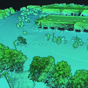
LIDAR Scan to Colorized Point Cloud
Fashionably called a “digital twin,” the point cloud offers a current perspective view of your project site and its surroundings. A point cloud contains millions of points, each 3D geo-referenced and contains RGB color, intensity and laser return data that serves as the perfect reference asset. Meanwhile, CAD deliverables are extracted from the point cloud model and ready to be incorporated into your project design workflow.
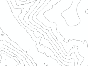
Ground-based contours and TIN surface
Whether mapping ponderosa pines or a sea of sage, 5-return LIDAR data can penetrate through vegetation to capture very fine detail in the terrain, including small gullies, ridges, and depressions. This means that LIDAR-based contour lines can show more of the variability of the terrain than traditional contour lines. This package includes DXF, geopackage and LandXML file formats.
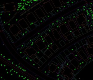
Planimetric Linework
CAD linework that you can pull into your existing GIS software such as ArcGIS, AutoCAD, Civil3D and others.

Stamped Deliverables, When Required
At TopoMatters, we understand the importance of having reliable and accurate survey data. That’s why we partner with licensed professional land surveyors to set control, verify and stamp final deliverables with their seal, as required. We also have a licensed surveyor on our extended team that can verify topo and augment with boundary surveys within the State of Colorado!