TopoVision®
Maximize visual insight and engagement with dynamic 3D deliverables
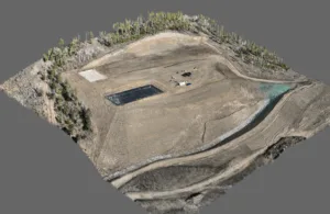
Understand existing conditions and the big picture view
An advantage over traditional photography is the ability to rotate the scene on demand—viewing any angle or oblique perspective instantly. While not a survey product, TopoVision® delivers high-impact 3D experiences that bring aerial data to life with photo-realistic accuracy. Through advanced reality capture, millions of interconnected faces are transformed into a seamless, high-fidelity mesh—each surface precisely textured with the true color and detail of the original imagery. Delivered in user-friendly formats, TopoVision® is ideal for visualization, design integration, and client presentations. Offered standalone or as a complementary survey deliverable, it enhances every project with depth, realism, and professional polish.
Take a spin
Click any link below to open a scene. Once it loads, click, drag, and zoom to look around and take control.