TopoSTUDIO™ Custom LiDAR Analytics
Public LiDAR, made survey-ready.
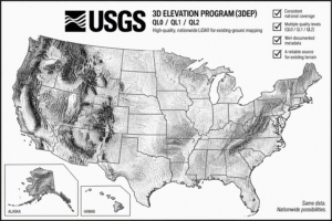
TopoSTUDIO delivers custom LiDAR analytics built around your project. Our flagship service for surveyors turns qualified USGS 3DEP LiDAR into a practical existing-ground solution, ready for your survey, when new UAS collection doesn’t make sense.
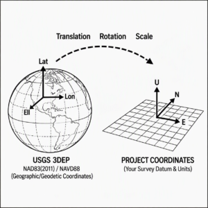
Your coordinates. Your scale. Your control.
TopoSTUDIO transforms USGS 3DEP LiDAR from its published coordinate reference system into your survey project coordinates, applies the appropriate project scale, and snaps the terrain to your vertical control for seamless project integration.
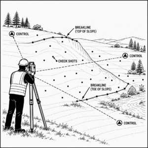
Extend your field survey
Focus field collection on what matters: project control, independent check shots, and breakline points at critical terrain features. TopoSTUDIO uses those observations to integrate and verify the broader USGS-derived terrain.
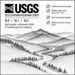
Start with high-quality USGS LiDAR
TopoSTUDIO uses qualified USGS 3DEP QL0, QL1, or QL2 LiDAR as the foundation for existing-ground mapping. Source data is evaluated for coverage, acquisition history, quality level, and suitability for the project.
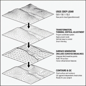
Processing with TopoPRO
USGS LiDAR goes through the terrain processing and QC workflow you’ve come to expect from TopoPRO, including site calibration, smart thinning, surface generation, integration of surveyed breaklines, and QC against your independent check shots.
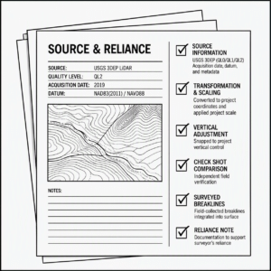
Document your reliance
TopoSTUDIO provides source and QC information to support the surveyor’s reliance on third-party data. Clearly distinguish surveyed observations from USGS-derived terrain and document how the source data was transformed, adjusted, and checked against the ground survey points.

When a new flight doesn't make sense
Undisturbed site? TopoSTUDIO keeps the project moving when snow or weather prevents collection, VLOS or other legal flight parameters make UAS impractical, Blue UAS requirements drive up cost, or the project’s budget or timeline simply doesn’t justify a new acquisition.