TopoMatters | Aerial LiDAR and Data for Surveyors

Survey-ready aerial LiDAR+ orthophoto CAD deliverables for land surveyors.

Ground-scaled. Quality-checked. CAD-ready.

Powered by TopoPro®

Colorado Drone LiDAR Surface

Choose Your LiDAR+ Package

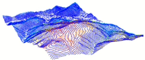
LiDAR+ Topo/TIN


Fast. Efficient. Survey Ready.

The fastest path from aerial acquisition to a survey-ready terrain surface.

  • Classified point cloud
  • Orthophoto
  • Terrain breaklines
  • Building outlines
  • TIN Surface
  • Contours
  • QC reporting
  • DXF + LandXML + post-processed point cloud and orthophoto
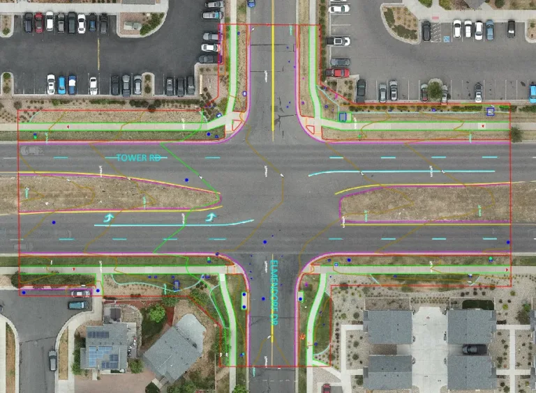
Pedestrian crossing design survey

LiDAR+ Full Linework

Expanded Extraction for Comprehensive Mapping

Everything in Topo TIN plus additional extraction of visible features.

  • Curbs & gutter
  • Sidewalks
  • Pavement edges
  • Visible utility features
  • Additional planimetric features
  • Packaged DWG + post-processed point cloud and orthophoto
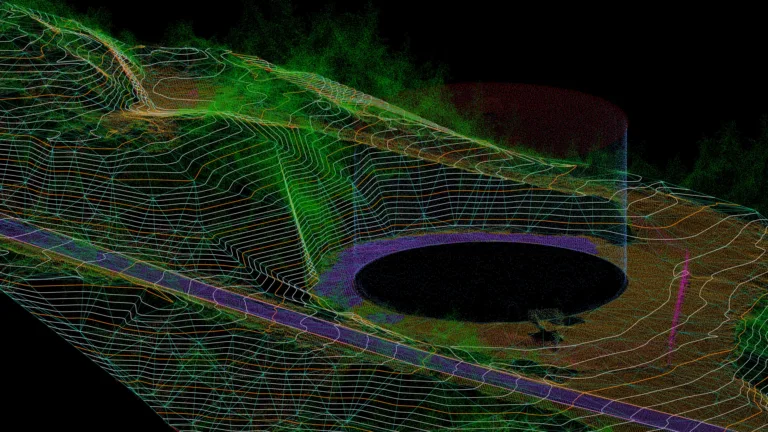
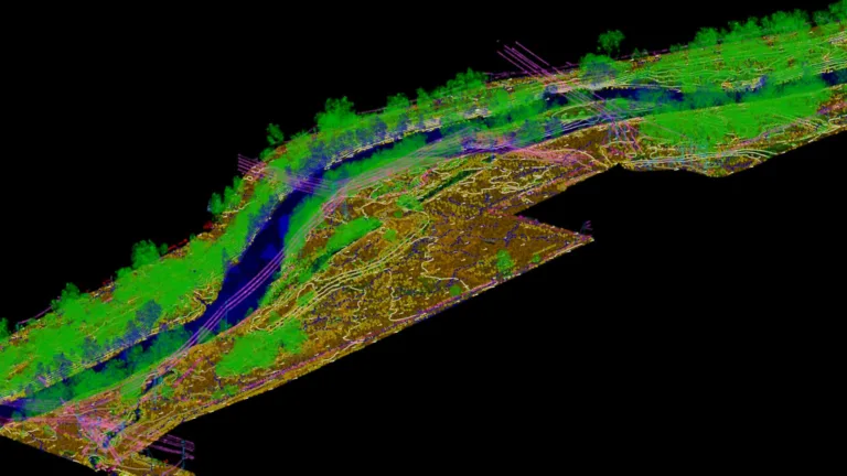
river corridor design study survey

LiDAR+ Client Extraction

You Extract.  We Deliver Production-Ready Data.

For firms that prefer to perform feature extraction internally.

  • Georeferenced to project control
  • Ground and off-ground classification
  • Point density optimized for production use
  • QA/QC with independent checks
  • Includes 2D Orthophoto

Get started

Add aerial data and deliverables to your survey workflow,
or ask about a custom deliverable.

Why Surveyors Trust TopoMatters

Ground-Scaled Deliverables

Site-calibrated LiDAR and deliverables designed to integrate directly into survey and engineering coordinate systems.

Professional Engagement

More than data collection, a true partnership model focused on communication, coordination, and successful project delivery.

Transparent Workflow

Interactive quality reporting, repeatable workflows, and measurable validation provide confidence in every deliverable.

Powered by TopoPro®

Every LiDAR+ project is processed through TopoPro®, our proprietary LiDAR survey post-processing workflow.

Unlike general-purpose drone mapping software, TopoPro® emphasizes ground-scaled localization, independent quality checks, repeatable workflows, and processing transparency to produce survey-ready deliverables.

TopoPro® workflow includes:

✅ Ground-scaled localization
✅ Vertical bias adjustment
✅ Multi-stage classification
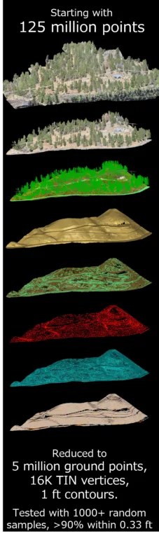
✅ Smart thinning
✅ Breakline extraction
✅ TIN optimization
✅ Interactive QC reporting

Get started

Add aerial data and deliverables to your survey workflow