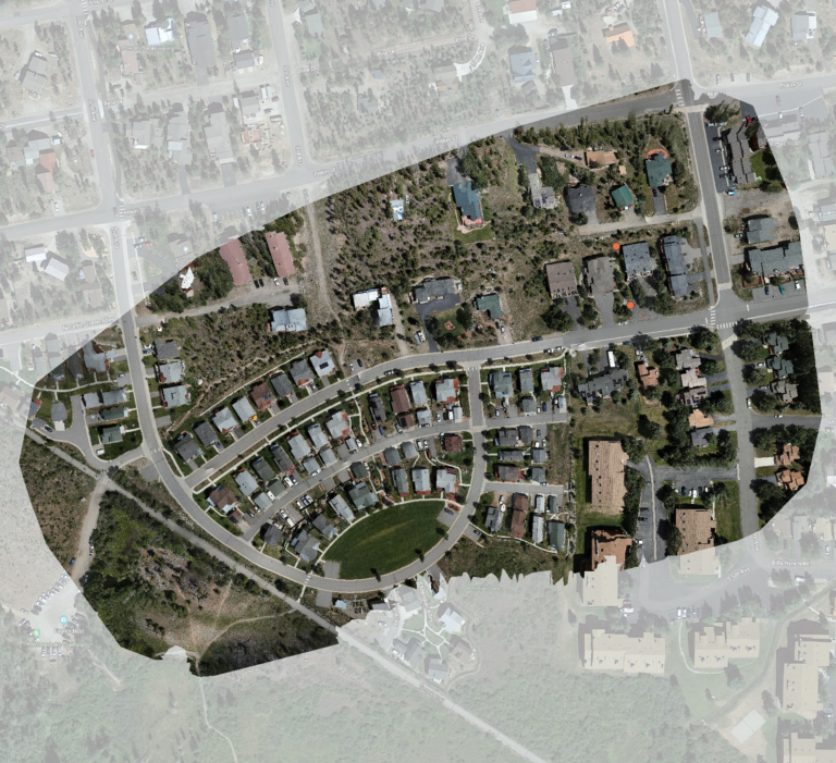
Urban mapping just became a lot more accessible. With FAA Category operations now approved, TopoMatters can legally and safely fly over towns, cities, and other populated areas — delivering high-resolution visualization and GIS imagery for projects that were once restricted by cost or regulation.
What FAA Category Operations Mean
FAA Category operations authorize certain aircraft to fly over people and moving vehicles without requiring individual waivers, maintaining strict safety standards while expanding where professional UAS mapping can occur.
For our clients, this translates to:
- Expanded access to developed and populated areas.
- Faster project turnaround, with fewer regulatory delays.
- Full FAA compliance, built into every operation.
TopoVision® — Bringing Projects Into View
With FAA Category operations, TopoVision® now extends into urban and infrastructure environments, providing immersive, high-resolution visualizations for planning, communication, change detection and stakeholder engagement.
TopoVision® focuses on visual intelligence, helping project teams, planners, and community stakeholders see complex environments clearly. It turns aerial imagery into intuitive, navigable visual experiences — making it easier to understand site conditions, evaluate design options, and communicate effectively.
Seamless Integration with Survey Workflows
Many projects require more than aerial visualization. TopoMatters continues to augment TopoVision® imagery with TopoPro® traditional survey deliverables, working under standard operational constraints and in partnership with our network of local surveyors. This ensures every project benefits from both contextual insight and verified, trusted data, creating a unified, reliable workflow.
The TopoMatters Difference
With multidisciplinary expertise across engineering, technology, business, and professionalism, TopoMatters delivers mapping solutions that meet the demands of real-world projects — now with expanded FAA-authorized operations for environments that were previously off-limits.
TopoMatters: Expanding where precision mapping and visual understanding can go — safely, legally, and professionally.