See How TopoMatters Delivers Survey-Grade Drone Mapping
Explore real-world examples across transportation, natural corridors, and undeveloped land. (Detailed topo surfaces and CAD linework available by demo.)
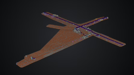
Rural Transportation – road alignment and surface modeling
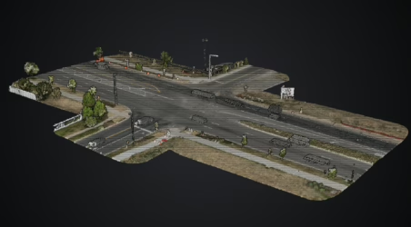
Urban Transportation – intersection improvements
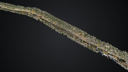
Mountain River - terrain model for riparian and hydrolic studies
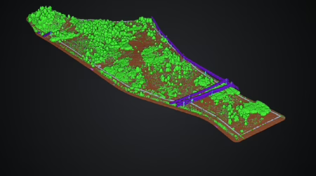
Private Land - topo with vegetation and built features
Get started
Enhance your workflow with LiDAR, Photogrammetry and CAD deliverables